全量路线探索
10 条精选城市记忆路线,听见上海的时光倒流
共找到 15 条相关路线
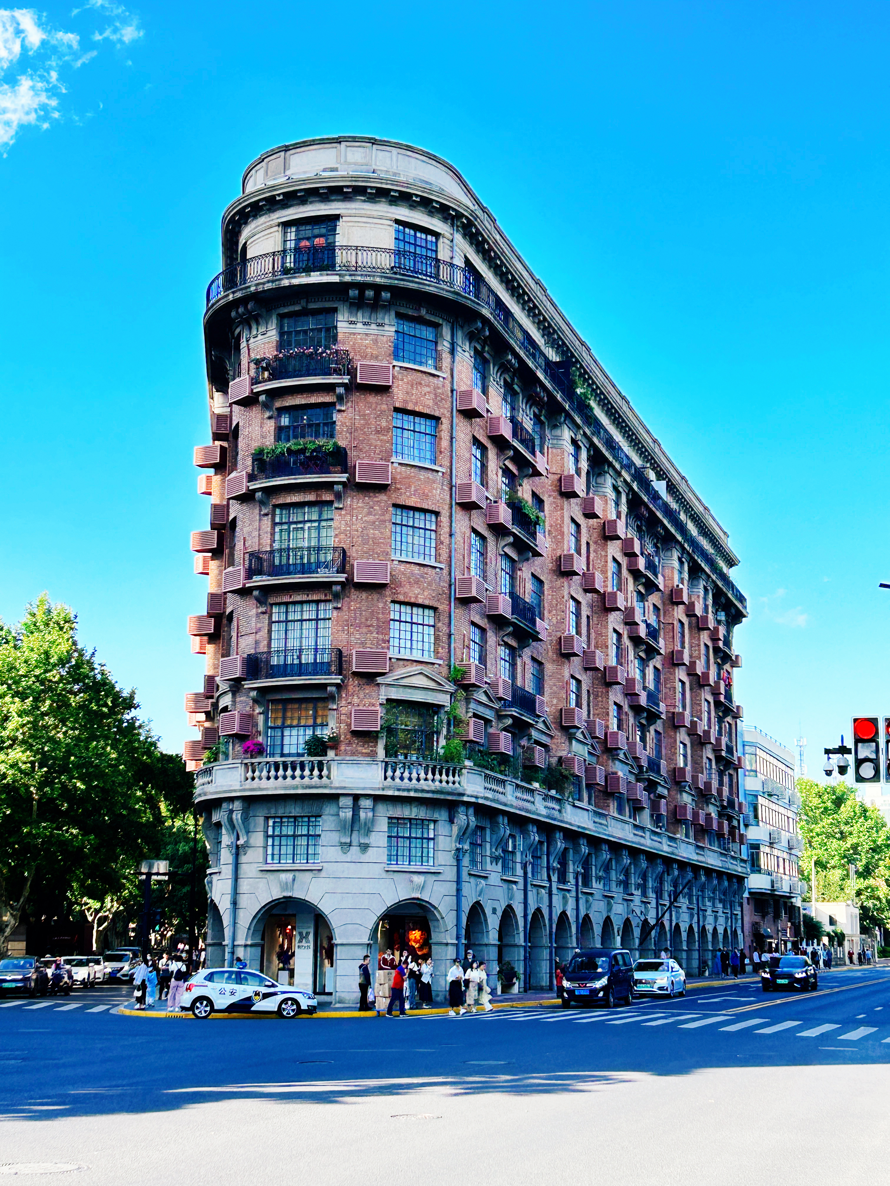
Wukang Road: A Street That Keeps Being Rewritten
Less explanation. More discovery. Walk Wukang Road from the Normandie corner to Lilac Garden — 27 stops of residences, courtyards, and details you only notice when you know where to look.
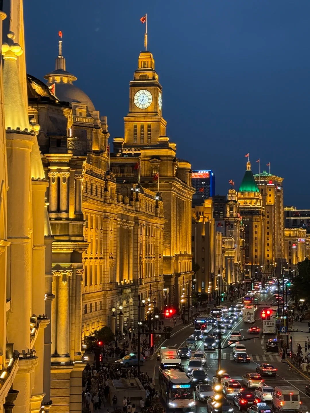
The Bund: Art Deco & Finance
Less explanation. More discovery. Walk the Bund from Waibaidu Bridge to Bund 22 — 32 stops of banks, trading houses and riverfront details you only notice when you know where to look.
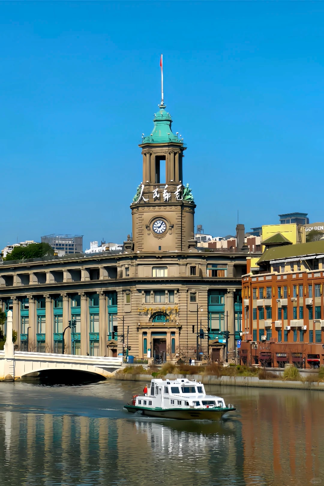
Suzhou Creek: One River, Six Bridges
From consulates and a postal hall to the warehouse where four hundred men made their stand. 23 Stops · Approx. 3.5–4 Hours · Approx. 4 km · Best split across a morning and late afternoon, or walked start to finish for the full arc. Suzhou Creek is the quieter of Shanghai's two rivers, and it carries more of the city's working history than its grander neighbour, the Huangpu. This route follows the creek's south and north banks west from the river mouth, crossing six bridges in total: Waibaidu, Zhapu Road, Sichuan Road and Henan Road first, through consulates, hotels, a postal hall and a merchants' guild — then, in a stretch most visitors never walk, further west across Zhejiang Road Bridge and Xizang Road Bridge, through a rebuilt shikumen lane and a relocated temple, to Sihang Warehouse, where a battalion of Chinese soldiers held out for four days in 1937 while the rest of the city watched.
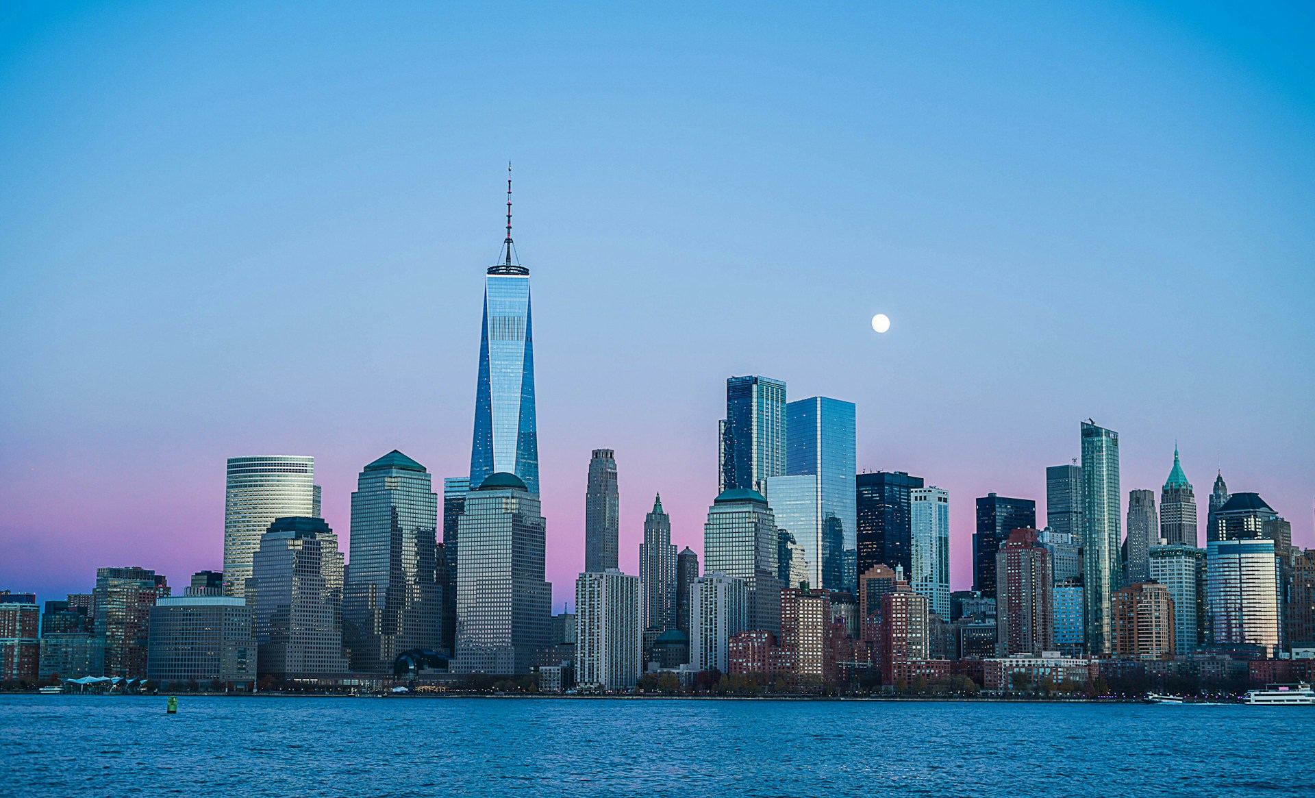
Lujiazui: How Shanghai Built the Future
From ferry crossings to one of the world's most recognisable skylines. 17 Stops · Approx. 3–3.5 Hours · Approx. 4 km · Best from mid-afternoon into evening, to catch dusk turning into the skyline's night lights. Thirty-five years ago, almost none of this skyline existed. Before 1990, the east bank of the Huangpu was ferries, warehouses, factories and modest neighbourhoods with muddy roads — the Bund looked across the river at farmland, not glass towers. This route follows how a stretch of docks and paddy fields became Lujiazui: four generations of supertall landmarks, an underground city of malls and metro lines, parks built deliberately to soften the scale, and — at the end — a riverside promenade where you finally get to stand on the "new" side and look back at the old one.
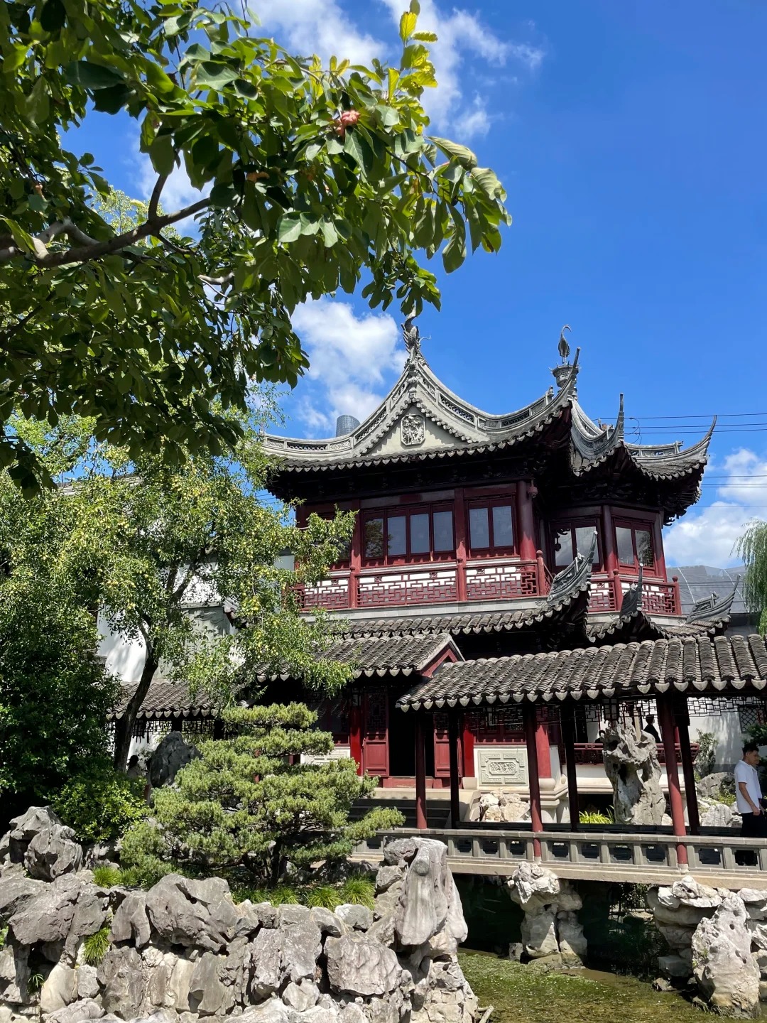
Yu Garden: A Garden Built From "Borrowed" Stones
Temple, garden and market grown into one address over four centuries — and a stone-by-stone treasure hunt for materials that never originally belonged here. Yu Garden looks, at first glance, like a single, coherent Ming-dynasty relic. It isn't. It's a four-hundred-year accumulation: a Ming private garden, a Qing-dynasty teahouse, a City God Temple precinct, a 1920s fire-rebuild, and a set of 1950s-80s restorations, all layered onto the same 2.2-hectare footprint. Read the garden the way a geologist reads rock strata — asking of every building, every stone, every pair of guardian lions: which era is this actually from, and where did it actually come from before it got here? The rockery's stone was quarried in Zhejiang. The garden's single most prized rock has a legend tying it to an emperor's private collection two hundred kilometres away. A pair of cast-iron lions near the West Garden entrance started life guarding a government office in Henan. Even the famous Nine-Turn Bridge doesn't have nine turns — we'll get to that. This route runs from the old city streets outside, through the temple-garden-market cluster at the entrance, and into the garden's three connected sections, counting stones and lions along the way.
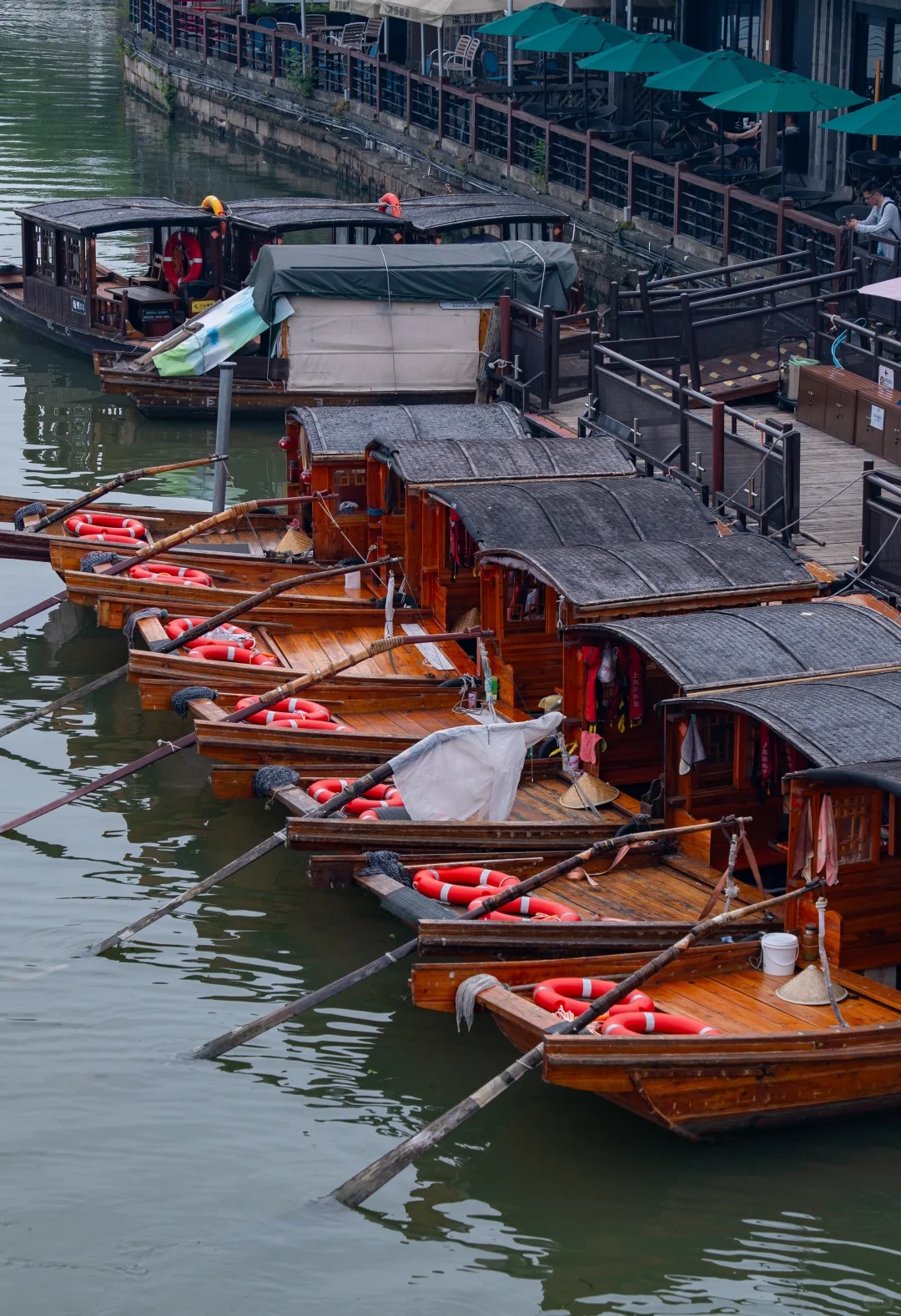
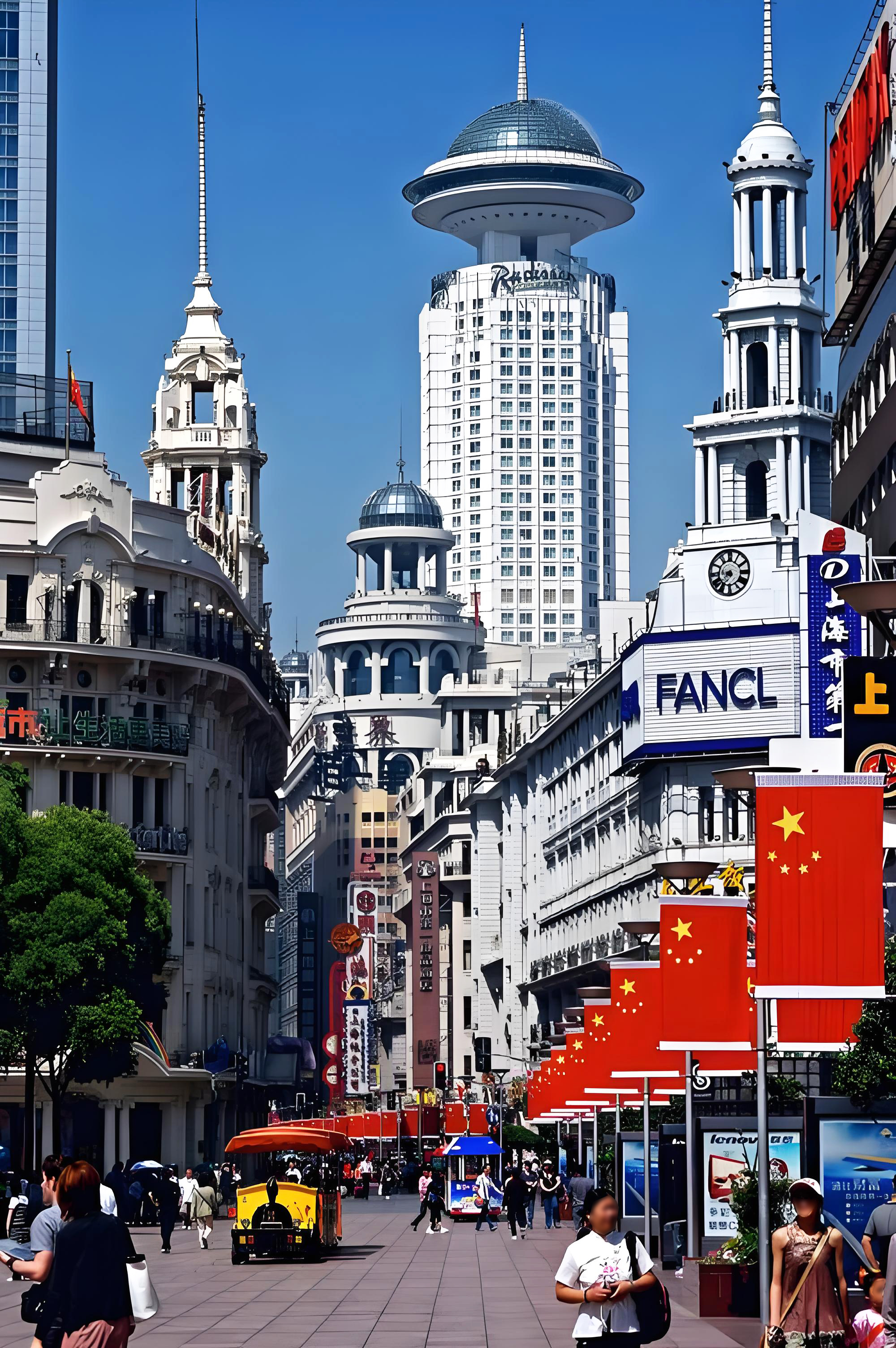
Nanjing East Road: Four Rivals and the Street They Built
Most visitors walk Nanjing Road the same way: off the Bund, west toward the department stores, carried along by the crowd. This walk goes backwards — starting at the quiet, leafy western end near People's Square, just as the sun goes down, and walking east, against the tide, toward the river. It's the same street. It just reads differently in reverse. You start among the things that came later — the rebuilt plazas, the glass storefronts — and arrive, stop by stop, at a street built more than a century ago by four rival Chinese department-store families who were, in effect, racing each other down the same half a mile of pavement. This walk covers roughly 1.2 kilometers, entirely pedestrianized, and takes about 60-75 minutes at a browsing pace — longer if you stop to eat, which we recommend.
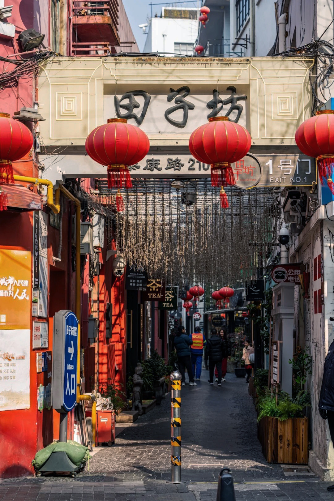
Tianzifang: A Neighborhood That Wasn't Supposed to Survive
Tianzifang almost wasn't here at all. In the original city planning for this block, the whole lane was slated to be demolished and folded into what's now the Kerry-anchored mall across the street. It wasn't. The lane stayed, the mall got built next to it instead, and today you can stand at the gate and look at both outcomes side by side. This walk covers the lanes on both sides of Taikang Road, entering through Gate 1 and exiting near Dapu Bridge. Budget about 60-90 minutes if you want to actually look inside the shops, and expect narrow lanes, low sunlight, and a lot of texture that photographs better than it can be described.
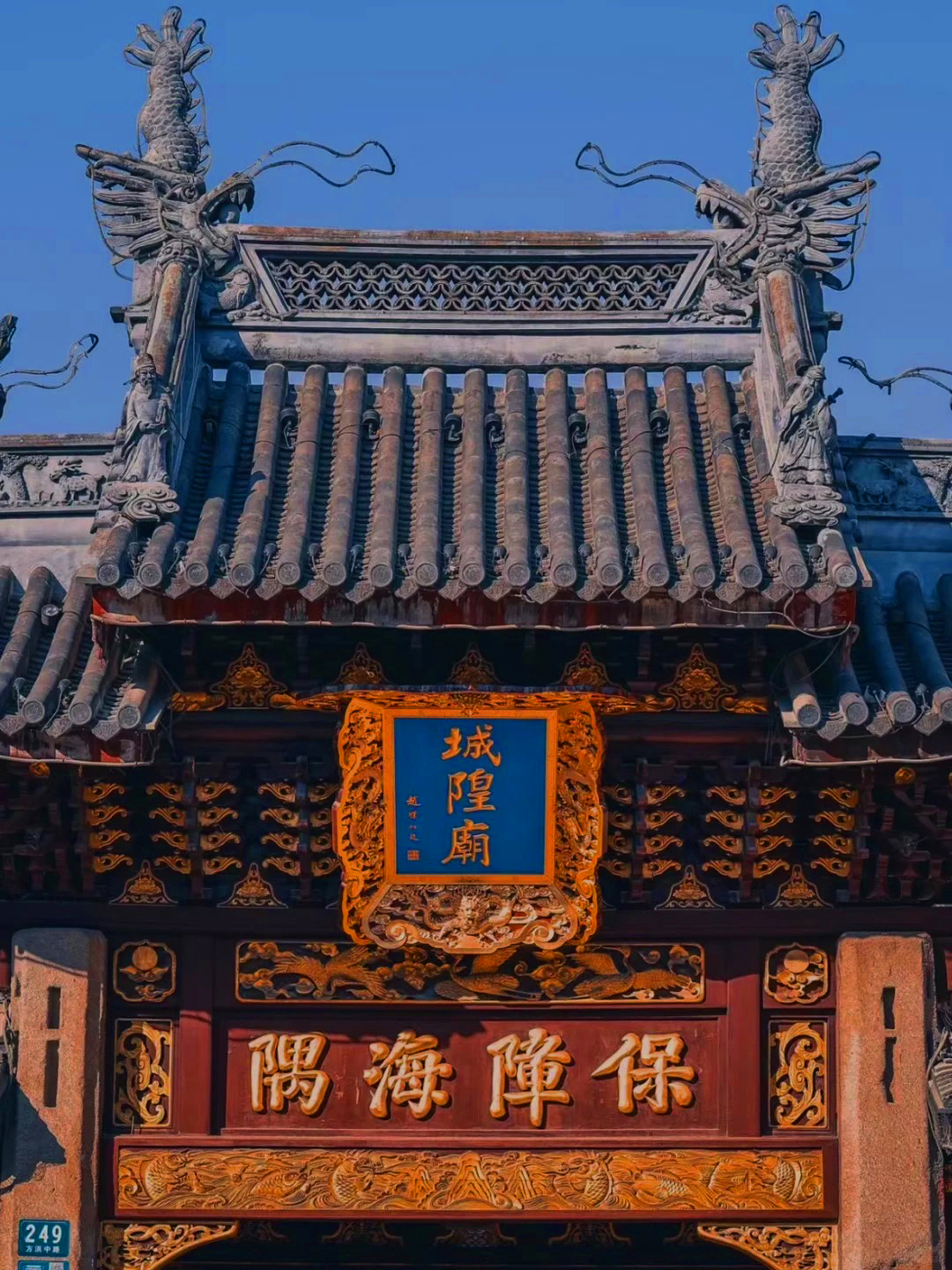
The City God Temple: A Temple That Kept Borrowing and Adopting Its Gods
There's an old Shanghai saying: "to visit Shanghai and skip the City God Temple is not to have visited Shanghai at all." Older Shanghainese had a whole separate vocabulary for a day out here — "baixiang Chenghuangmiao," to play around at the City God Temple — used the same way people said "baixiang Dashijie" for the old Great World amusement hall. Nobody said the equivalent for the Huangpu River, because "playing around in the Huangpu" meant something closer to jumping in it. Nanjing Road, by contrast, you just "strolled" — dàngdang. The Temple was where you actually went to have a day. The temple sits at the heart of the Old City, immediately next to Yu Garden — the two are, in fact, more connected than most visitors realize, which this walk gets to near the end.
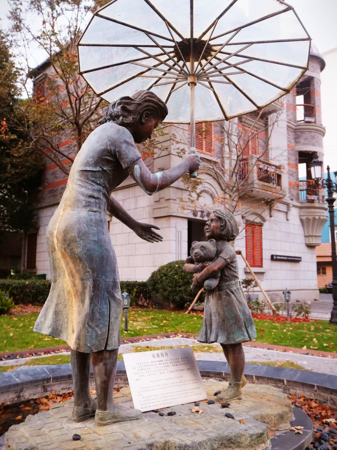
Tilanqiao: A Sanctuary and a Wall, a Few Hundred Meters Apart
Two very different stories sit on top of each other in Tilanqiao, and neither one is small. One is a sanctuary story: in the years before and during the Second World War, this small corner of Hongkou took in close to 20,000 Jewish refugees fleeing Nazi Europe, at a moment when almost no other place on earth would. The other is a wall: a British-built prison, once called the largest in the Far East, standing a few hundred meters from where refugee families rebuilt their lives. This walk holds both, without flattening either one into a simple story. A CitiGrow Route · WWII History · Jewish Refugees · Colonial-Era Architecture · Difficult Histories 17 stops · approx. 1.5 km · approx. 90 min - 2 hours
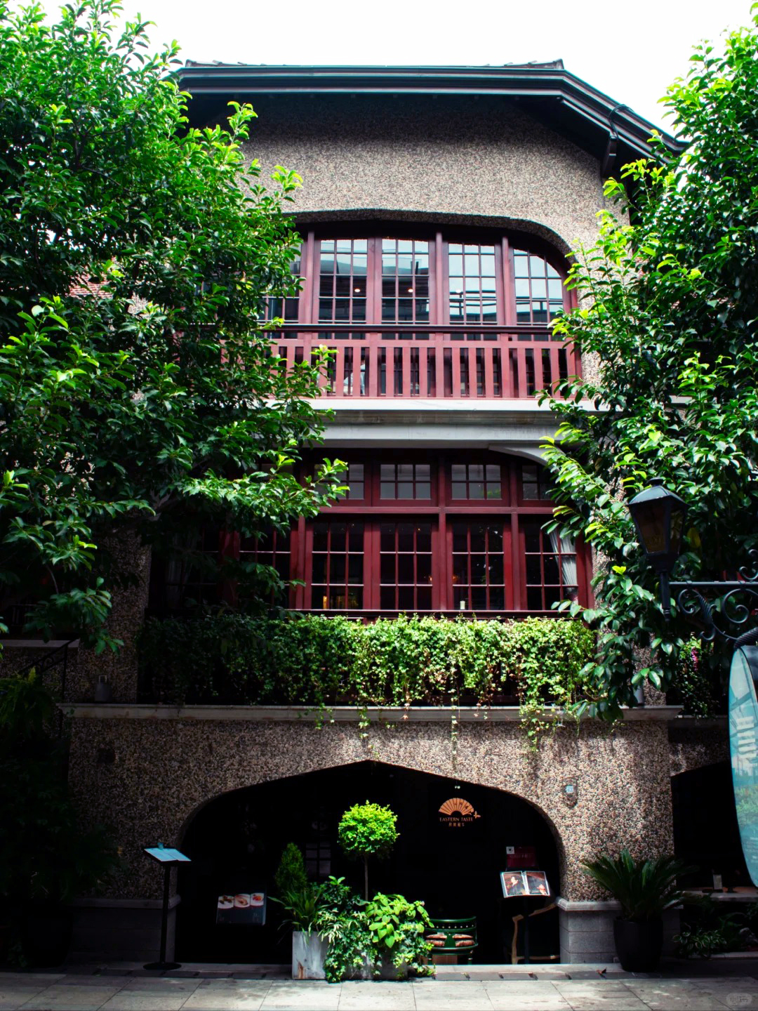
Sinan Road: The Quiet Grandeur of the Garden District
Sinan Road runs just 1.4 kilometers, from Huaihai Middle Road in the north to Taikang Road in the south — one of the 64 streets in Shanghai that, by municipal rule, can never be widened. There are no buses here, no through traffic, nothing but French plane trees, garden walls, and a single quiet lane. It was laid out in 1914, during the third and final expansion of the French Concession, and first named Rue Massenet, after the French composer Jules Massenet, who had died two years earlier, in 1912, in Paris. During the Japanese occupation it was briefly renamed; once the war ended in 1945, it became Sinan Road, the name it carries today. Old Shanghai had a phrase for neighborhoods like this one — "上只角," the upper corner, the good side of town — as opposed to the crowded shantytowns people called "下只角." Sinan Road, with its plane trees and 1920s garden villas, was very much the former: an address for generals, financiers, diplomats, and revolutionaries alike, many of them living within a few blocks of one another.
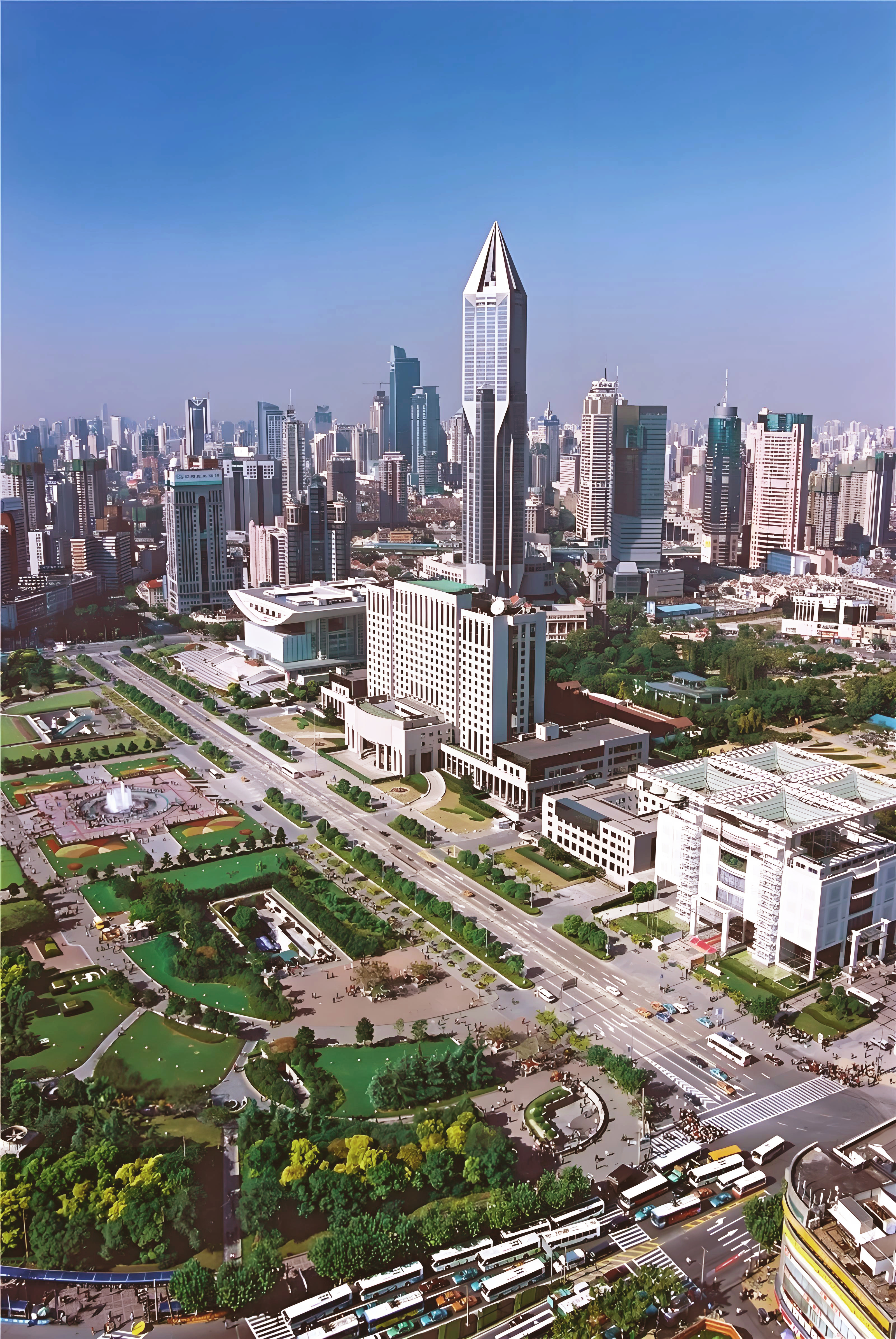
People's Square: Shanghai's Zero Point
People's Square sits at what Shanghainese simply call "Shanghai Zero" — the geographic and administrative center from which the city measures itself, in more than one sense. It's flanked by two streets covered on other walks: Fuzhou Road, celebrated as the city's "first culture street," and Nanjing East Road, its "first commercial street." This walk runs east to west along People's Avenue, then west again along Nanjing West Road, finishing with a dip underground and a stop at the square's true center. A quick note on geography before we start: "People's Square" has a broad meaning and a narrow one. Broadly, Shanghainese use it to cover the entire footprint of the old colonial racecourse that once stood here. Narrowly, that same footprint is split in two by People's Avenue — the north half is People's Park, the south half is People's Square proper. This walk covers most of the loop around both halves, though it doesn't go inside People's Park itself, and only reaches the true southern square at the very end.
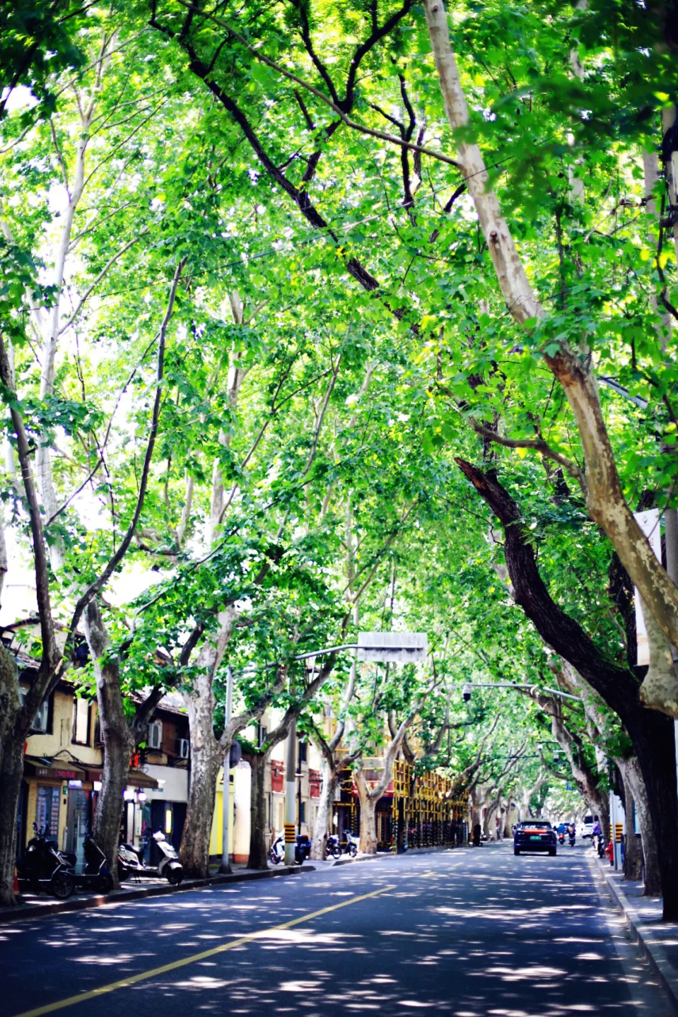
Changle Road: Reading a Street Before It Changes
Changle Road runs east to west for a little over three kilometers, from Huashan Road all the way to Middle Tibet Road, cutting across three of Shanghai's central districts along the way: Jing'an to the north, Xuhui to the south for its western stretch, and Huangpu once it crosses Shaanxi South Road further east. Like several other streets on this project, it's one of the 64 roads in Shanghai that can never be widened. A stretch of Changle Road — long popular with young people for its boutiques and bars — has recently entered a round of redevelopment, and several shops along it have already closed. This walk was recorded specifically to capture what's still here before more of it changes, covering roughly the western 60% of the road, from Huashan Road to Shaanxi South Road, rather than its full length. The road's own name has changed once already. It was laid out in 1914, during the French Concession's final westward expansion, and originally named Rue Bourgeat, after a French lawyer killed in the First World War. It took on its current Chinese name, Changle Road — borrowed from a county in Fujian province — in October 1943.
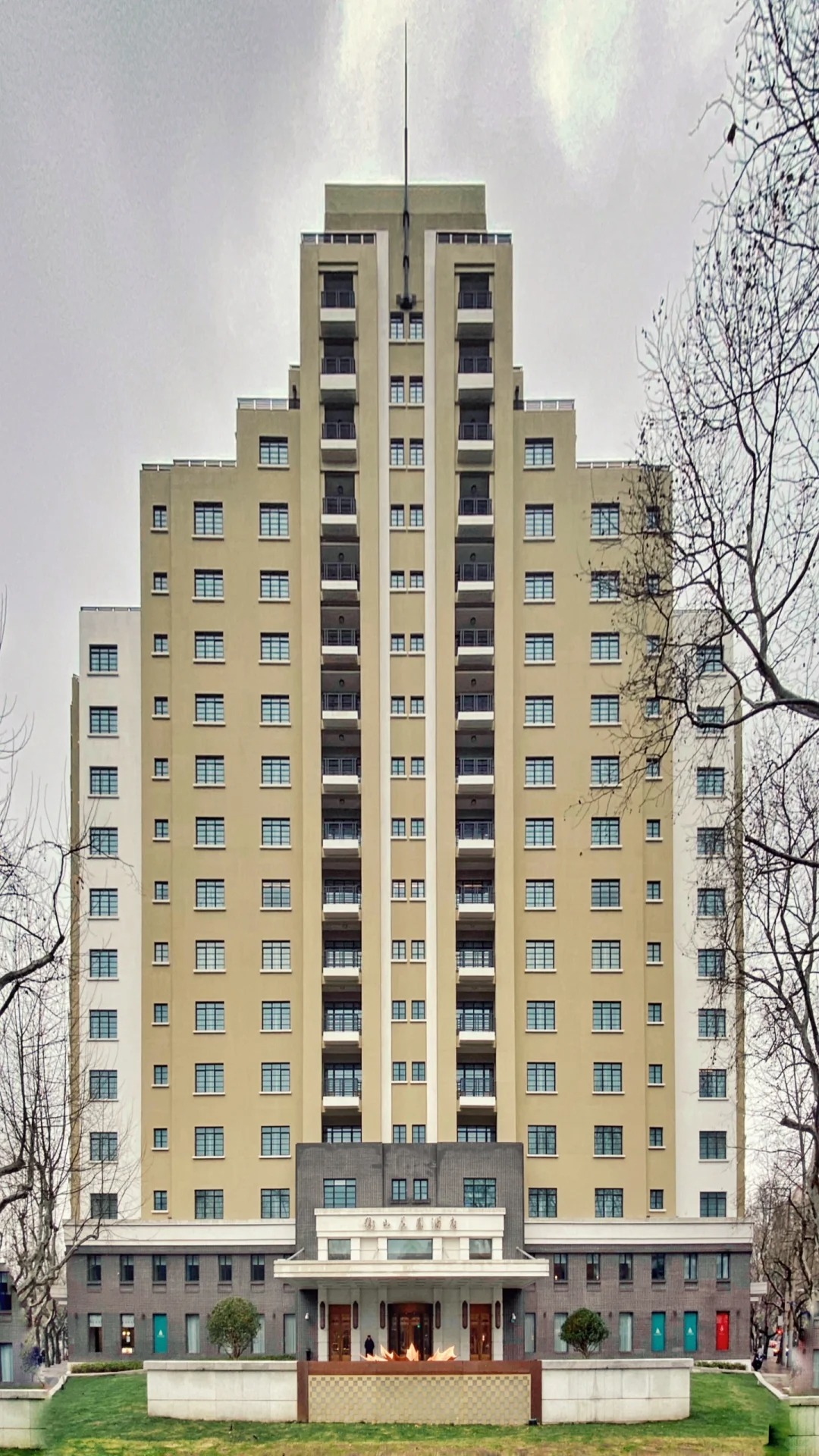
Hengshan Road: The Diagonal Line from Xujiahui
Hengshan Road is the odd one out on the map of old Shanghai. Almost every road in the former French Concession runs close to true north-south or east-west, in the grid the concession's own engineers laid down block by block as the settlement grew outward. Hengshan Road doesn't. It cuts across that grid at roughly a 40-to-45-degree angle, running southeast to northwest in one long, unbroken diagonal — which is exactly why, if you've ever tried to find it on a map, it's the easiest street in this part of the city to spot. The reason is simple and, once you know it, obvious: when this road was first built, the French Concession's public works department had one specific job to do — connect Avenue Joffre (today's Huaihai Middle Road) directly to Xujiahui. There was no surrounding street grid yet to fit into, so the engineers just drew the straightest possible line between two points and built it. Everything that came later had to meet this road at whatever angle resulted, which is why several of its intersections form the sharp, non-perpendicular corners you'll notice along the way. This route starts at Xujiahui's famous five-road intersection — the same commercial core that anchored the district through the 1990s — and follows Hengshan Road from its southern end, near Xujiahui, north to where it meets Taojiang Road, a stretch of a little over two kilometers. The road sits entirely within the final 1914 expansion of the French Concession, and its buildings tell that story in miniature: the closer to Xujiahui, the more the architecture leans modern and streamlined; the closer to the old concession core, the more it leans classical. This walk moves through that gradient from south to north.
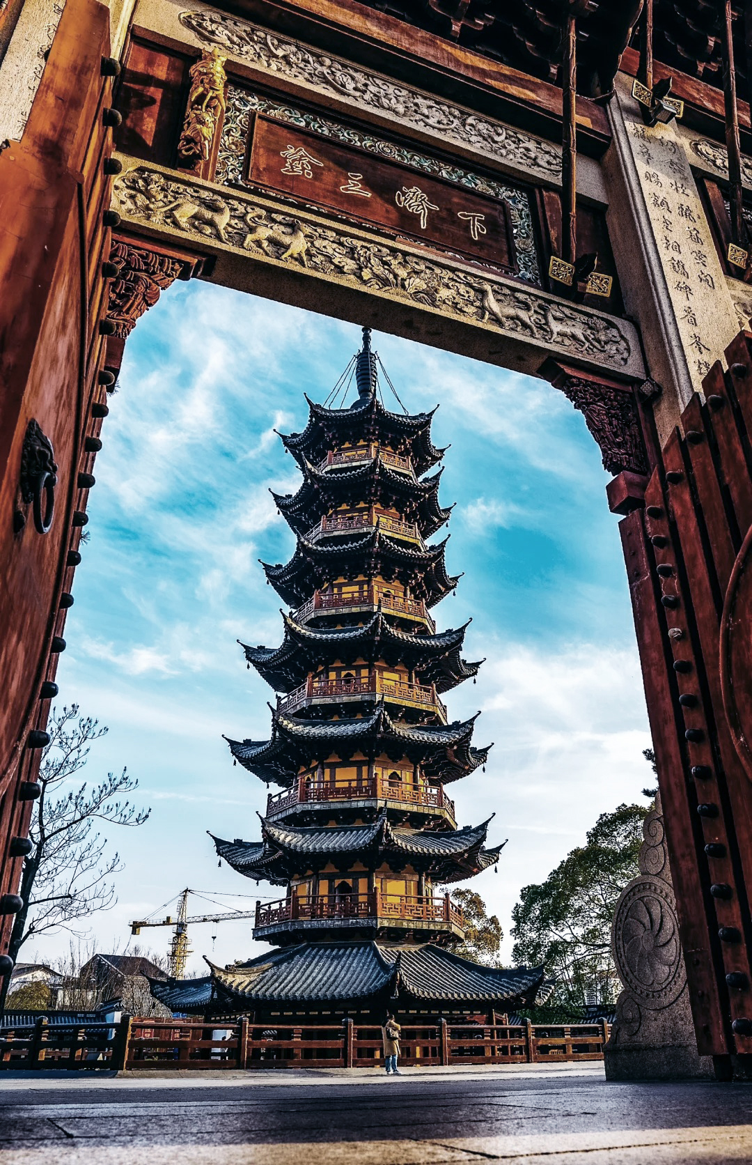
Longhua Temple: Shanghai's Oldest Working Monastery
Reached by Metro Line 12 or 11, Exit 4 — the pagoda stands right at the exit. The area itself carries the name through history: originally Longhua village, then township, then town, and today it survives as the name of this Xuhui neighbourhood. Before the temple gate, a recently built plaza centres on a flat granite water feature designed to mirror the pagoda — the tower standing upright above, its reflection lying flat in the water below. It has become one of the most photographed spots in the area. To the right of the plaza is the entrance to the Longhua Martyrs Cemetery — worth its own visit if you have time, but a separate stop from this one. This route goes into Longhua Temple itself.